Property Summary
Location
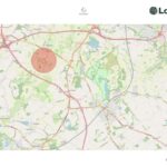
The land is located with frontage onto the adopted highway known as Rowley Bank Lane in High Legh and has gated access to each Lot. The village of High Legh is approximately 0.7 miles to the north, and the centre of Knutsford is approximately 5.6 miles to the southeast.
What3words: ///jumbled.paints.unearthly
Lot 1
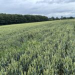
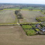
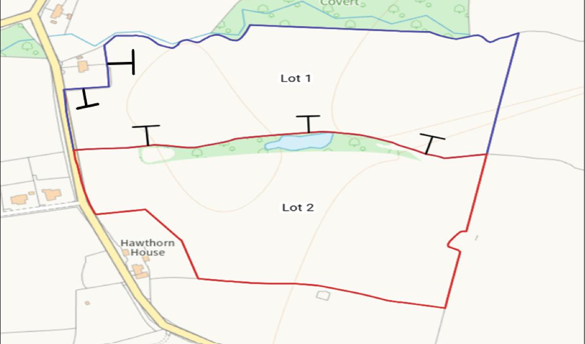
This field extends to approx. 12.24 acres and is edged blue on the sale plan. It is being used for arable cropping. A recent cropping history is available on request.
A footpath runs along the southern most boundary are shown on the sale plan.
The successful purchaser will be responsible for erecting and maintaining a stockproof fence (where there isn’t already one in place) along the boundary marked with inward facing T marks on the sale plan within 2 months of the sale completing.
Lot 2
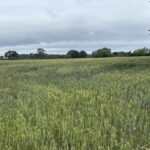
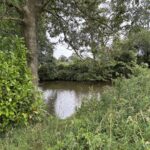
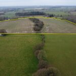
This parcel extends to approx. 13.12 acres and is edged red on the sale plan. It is being used for arable cropping. A recent cropping history is available on request. There is a small wood to the northmost boundary with several small ponds.